Interactive High-Resolution Model Engine
Long Island Winter Storm & Rain/Snow Line Modeler
Tracking coastal storm thermal profiles across the Long Island Expressway (I-495) / Route 25 dividing corridor.
Cold air damming against the North Shore glacial moraine typically yields colder surface temps and higher snow ratios during classic Nor'easters.
Frequent transition boundary where sleet, heavy wet snow, and ocean rain fight for dominance. Sharpest accumulation gradients occur here.
Atlantic marine air regularly pushes onshore winds with temps near 35-38°F, compressing heavy snowfall into rain or sleet near the barrier islands.
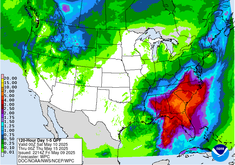
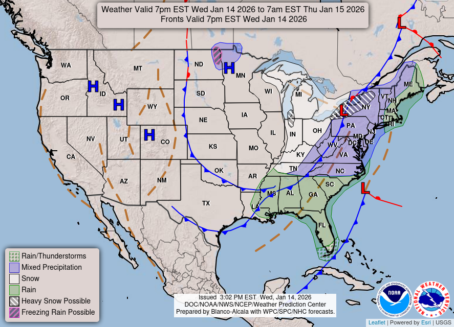
Seasonal Note: NWS Upton (OKX) event-specific local maps activate dynamically whenever an active winter storm watch or warning is issued for Long Island. Off-season and between active systems, daily NOAA WPC national and regional winter models are displayed above.
The Long Island Nor'easter Elevation & Snow-Ratio Matrix
Analyzing boundary layer oceanic warming against orographic cooling along Long Island's 400-foot glacial terminal moraines.
Long Island Expressway (I-495) Mile-by-Mile Pavement Freeze Profile
Long Island School Closings & Snow Day Predictor
Nassau & Suffolk County District OperationsPavement temperatures well above freezing with zero travel hazards across Suffolk and Nassau counties.
Tactical Graphics Wall
WPC Surface Analysis
Live NOAA
WPC National Forecast
WPC 1-3 Day Precip